Lidar – Terminology, Tracing the Growth and Types of Detection
LIDAR Market
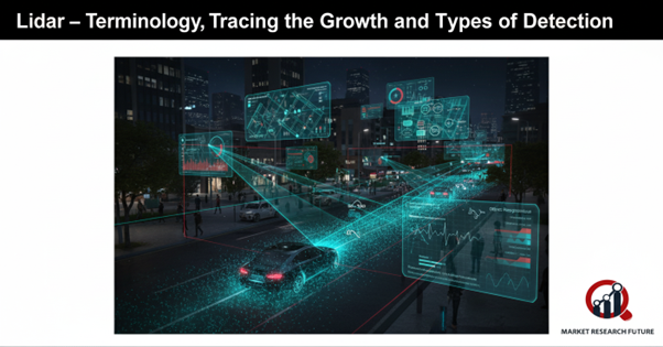
LiDAR, which stands for Light Detection and Ranging, is one of the most important new technologies of our time. It is a remote sensing system that uses safe laser pulses to measure distances and make very detailed, three-dimensional maps of the area around it. LiDAR, also known as 3D laser scanning, combines laser technology with advanced data processing to create maps of natural terrains and man-made structures with unmatched accuracy.
A typical LiDAR setup has a laser that sends pulses to a surface, a scanner that processes the signals that come back, and a GPS receiver that keeps track of the data that is reflected. Different types of instruments and beams are used to fit the environment and the level of accuracy needed, depending on what you want to scan, like landscapes, cars, or buildings.
Growth Through the Years
LiDAR was first made for use by the military and government. It was mostly used to map out terrain, keep an eye on things, and help with defence operations. But the technology has now gone beyond those limits. In the last ten years, it has entered consumer-driven industries and changed areas like smartphones, robotics, and cars.
LiDAR has been used by big tech companies like Tesla, Waymo, and Uber to make self-driving cars that can understand their surroundings with amazing accuracy. At the same time, smartphone makers like Apple are adding LiDAR sensors to their cameras to improve depth sensing, augmented reality, and low-light photography.
Different kinds of detections
There are three main types of LiDAR technology:
Ground-based: Used to make very accurate maps of landscapes, buildings, and archaeological sites.
Airborne: Attached to drones, helicopters, or planes for big surveys and detailed maps.
Satellite-based: Used in space to keep an eye on plants, ocean surfaces, and studies related to climate.
LiDAR is becoming more and more popular in many fields as it continues to improve. LiDAR is making the world smarter, more connected, and more data-driven, from self-driving cars to next-generation smartphones.
Related Report

Leave a Comment